


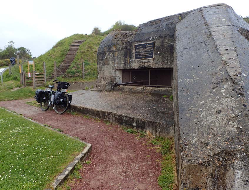
Off to the other D-Day beaches. I follow the Euro Velo route 4 on the GPS. The route is still in planning as I bump along the coast trail. The route must have been draw on a map without riding it. At Pointe du Hoc I look off the cliff the troops climbed. Not sure why this was called Omaha “beach”. Large photo of WWII are placed by buildings in the old photos. I take road as my bottom had taken enough bounces. I did not want to deal with more mud and sand. Camp at another municipal camp. Rain in the afternoon into night
Love and kisses
Steve
Distance 44.6 Miles / Total Time 11:24 / Time of Day 20:01 / Average Moving Speed 6.5 / Average Speed 3.9 / Moving Time 6:52 / Stop Time 4:33 / Max Speed 24.4 / Temperature 55F / Max Temp 61F / Min Temp 50F / Ascent 1246 ft / Current Elevation 5 ft / Max Elevation 264 ft /


 |
| Pointe du Hoc |


No comments:
Post a Comment