
 |
| nam Ngay River |
 |
| Put in |
 |
| Ban Tang |
 |
| Hydroelectric Station |
 |
| Ready to go |
At 10 I am moving again on a bus.
“Oow baby right now” by the chipmunks ahh bus music.
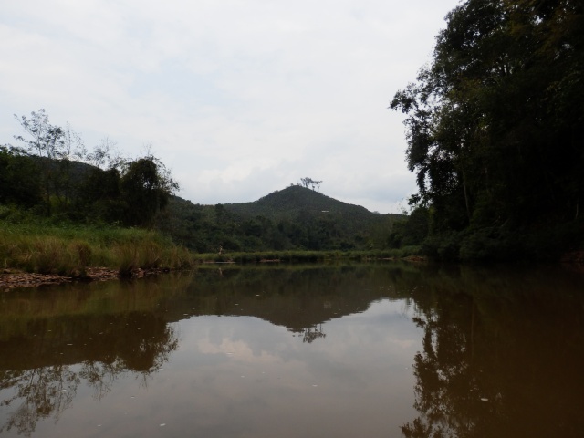
During the bus ride I get to see locals in there tribal dress with silver jewelry and baskets with head straps carrying their loads up the road. Crossing the nam Ngay River I see it is too small to be run. I see lovely pink flowers at a distance and think that they are for medicinal uses only. Finally at the Nam Ou and there is enough water. I just buy a couple of liters more of water and head to the river. I do not want to discuss my trip with officials so I am keeping a low profile. A few kids spot me but from the far side of the river. I am off. Scout the first rapids as there are propellers in the water from the hydroelectric plants. The town has electricity. Easy rapids and I continue the day just reading as I run the rapids. There is a constant distant rumble from the next rapids. Most are class two and easy. There is always a rumble or a roar of the next rapids. There are other sounds from breaking branches to birds all around. There is no silence in the jungle. There are a few class 3 and one I get a good butt banger going over one drop onto a unexpected rock. One rapid has a three foot drop. A boat just finishes motoring up with a couple of guys in front with poles pushing. I would be carrying an extra propeller and a hammer if I was them.
Then I am alone on the jungle and see no one. I see bright color birds but catching them in a photo is tricky. I see lots of old camps with the Bamboo frame for a tarp shelter. I pick a rock bar to camp on. The GPS does not have any map for the area so I do not know even generally where I am on the river. I decide to draw a river map from the old 1965 topo maps on my computer. Each square is a kilometer and track pattern on the GPS lines up with the map I made. I now have a good idea of where I am and how far there is to go.
I go to bed with a chorus of frogs and jungle noises. Just finished the Pacific where the lads spend their nights waiting for the Japanese to visit. I have no worries and go to sleep.
Bus
64.1 Miles, 3:26 Moving Time, Max Speed 32.2 Miles, Moving Average 18.6 Miles, Stop Time 2:30 Overall Average Speed 10.8 Miles, Temp Min 68 F-74 F, Start 7:00 next day end 13:30, Accent 4536 feet, Max Altitude 4033 feet. Ban Tang


 |
| Camp 1 |
12.9 Miles, 3:48 Moving Time, Max Speed 8.8 Miles, Moving Average 3.4 Miles, Stop Time 2:01 Overall Average Speed 2.2 Miles, Temp Min 68 F-85 F, Start 13:30 next day end 18:00, Accent 51 feet, Max Altitude 2106 feet.
Sunny after morning fog cleared
Love & Kisses
Steve
No comments:
Post a Comment